
On 26th April, Business In The Community (BITC)’s Business Emergency Resilience Group (BERG) hosted their Annual Resilience Day at the Building Research Establishment in Watford. During this day, Beverley Adams (Guy Carpenter), presented on the use of drones as new technologies for data capture.
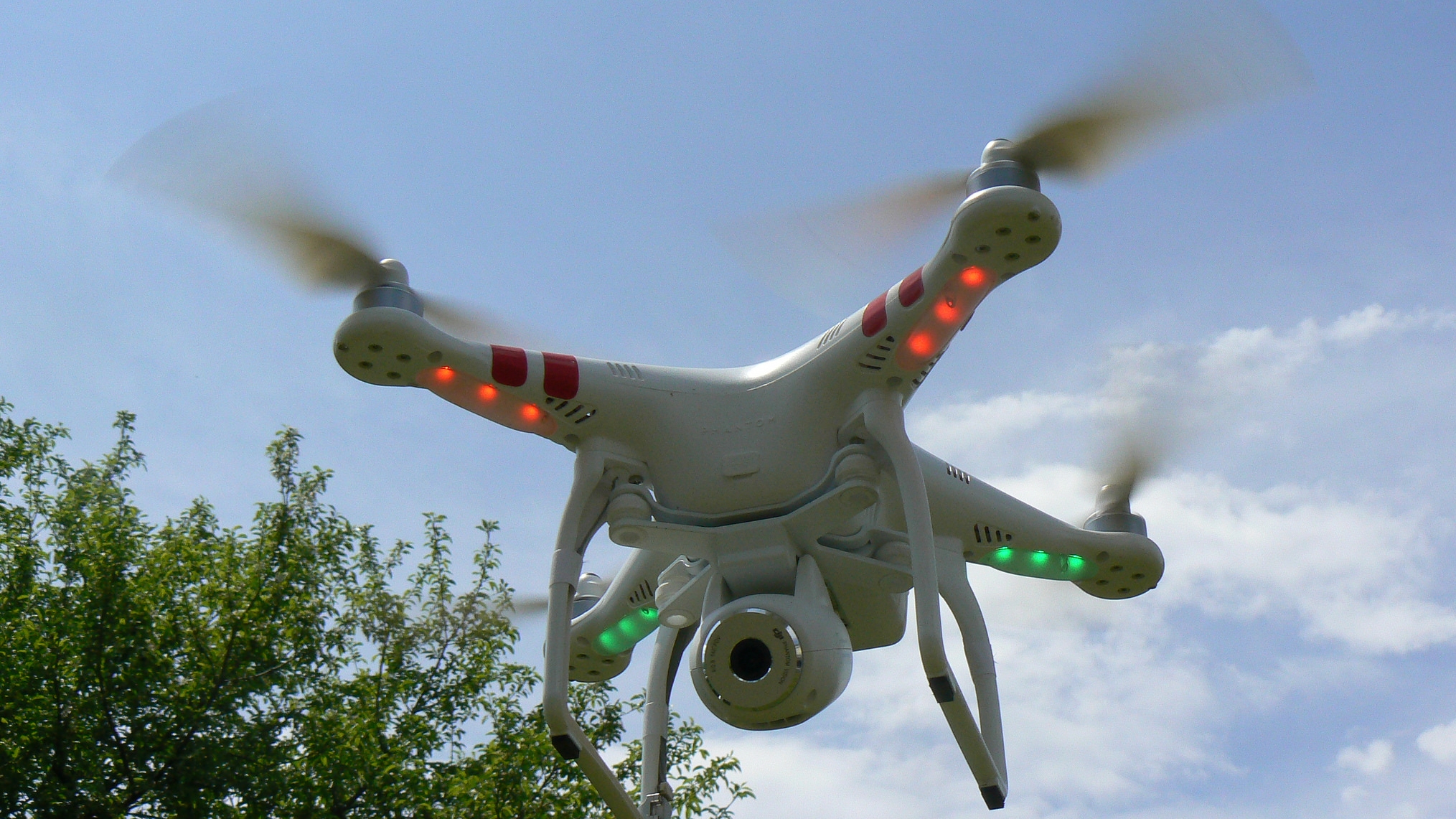
Following this presentation, there was live testing of drones demonstrating their capabilities and the potential opportunities that they present for data capture and industry in the future. These drones were then used to create a full 3D model of areas of the BRE site which then was transposed into a movable visualisation of the site. A full summary of the day is available here.
This 3D site model is now freely available online to view and can be seen below. The modelling capabilities for this software demonstrates the first steps in the potential capabilities of new technologies for mapping purposes and surveying. The use of these technologies in future would allow surveyors to map and visualise a property and the surrounding area quickly. This would speed up this process and allow an accurate reconstruction of a building.
This model also included the Flood Resilient Repair House which recently featured on BBC’s Countryfile. This project aimed to demonstrate how flood resilience measures can be implemented on homes in the UK without having to change the look and feel of a traditional home.
To see the full description of the launch event of this house, please click here.
Image: P1140970 by Peter Linehan | CC BY